Vitals
- Locale: Algonquin Park, Ontario
- What It's Like: An intermediate wilderness hike-in day trip with fun rapids and a lot of bugs.
- Class: III-IV
- Scouting/Portaging: Easy, on marked canoe portage trails.
- Level: 2.5 to 4.0 on this online gauge. Can be run higher and lower. 3.0 to 3.5 is ideal.
- Time: 2-3 hours paddling and an hour to hike/shuttle.
- When To Go: April-June or after rain events. Low flow runs are also possible.
- Info From: Many visits.
- Other Beta: Hell or High Water.
- Map: Algonquin Park free online map.


Description
This page was last updated in May 2011 and it is not regularly maintained. Information may be inaccurate.
Contributed by Philip Kompass.
Don't forget: Bug spray, hiking straps, decent footwear, lunch/snacks, beverages for the take out and money for the Park entrance.
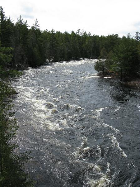
The Upper Petawawa is an amazing day. It is not simply the whitewater - which is cruisey but challenging - or the scenery - gorgeous Canadian Shield topography set in one of Ontario's most legendary provincial parks - but rather the entire day. From the dirt road shuttle, to the hike in, to the secluded paddling this river really offers a unique experience, particularly for Ontario intermediate boaters.
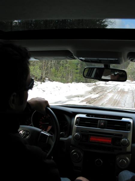
Begin your day in Petawawa. Turn off of Highway 17 (TransCanada) onto Doran Road, and take your first right onto Barron Canyon Road into Algonquin Park. Note: There is a convenient carpool lot located here, should you wish to use it. Reset your odometer and follow the road into the depths of Algonquin Park. If it is May/June, bring bug spray for the hike, but wash it off before putting on your drytop.
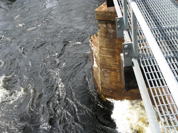
The pavement will turn to gravel, and you will come to the Sand Lake Gate of the Park. Pay your entrance fee ($13 per car) and continue down Barron Canyon Road. You will cross the Barron River, and pass signs for the Achray Campground and McManus Lake. Continue on the gravel road. At approximately mile marker #74 you will reach the Radio Tower and the Lake Travers parking area. Note: If you cross the Petawawa River - back up - you have gone just a little too far. This is the take out.
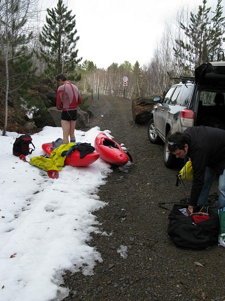
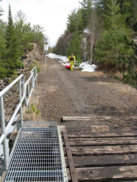
To get to the put-in, back up to mile marker 72 and take the road (fork) less travelled that heads off into the woods. Remain on this main track for about one kilometer. Do not take the spur roads, and you will reach an old railway bed (tracks removed). Turn right onto the rail bed and follow this to the boulders that block the track line.
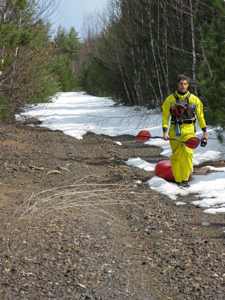
Park. Change. Load your gear. Start hiking upstream.
The river will be visible through glimpses in the trees, and it is not uncommon to see wildlife of all ilk on this hike. Small creeks, cliff bands and viewpoints are common. Once you reach a large bridge over the Petawawa you will be approximately 75% of the way there. The river is now on your left. Continue on for another kilometer or so until you reach a large calm section right beside the rail bed. This is the put-in.
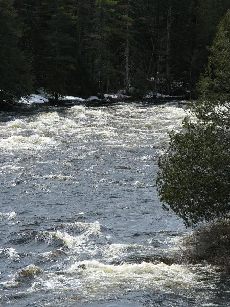
I won't go into great detail on the rapids, partly because I can't remember all the names, and partly because I don't want to ruin the surprises. MacDonalds Rapids, Boulder Falls, Devil's Cellar and Poplar Rapids (the last one, very long and worth scouting on river right) plus countless smaller but still fun rapids lay in this section. There are always well marked portages, and generally speaking nothing major will sneak up on you. After Poplar Rapids, you pass under the bridge and the takeout is on the river left. You can walk the shuttle (4 km) or drive it.
This run makes a beautiful long day with friends, and is usually good for collecting a swimmer or two as the granite ledges can make for some serious-sized holes that catch people who are a little too lazy after the riverside lunch break. The Upper Petawawa is one of my favorite runs, especially for groups with mixed comfort levels. If you have a chance to check it out, do it.
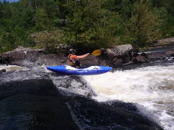
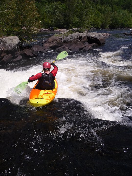
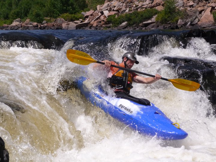
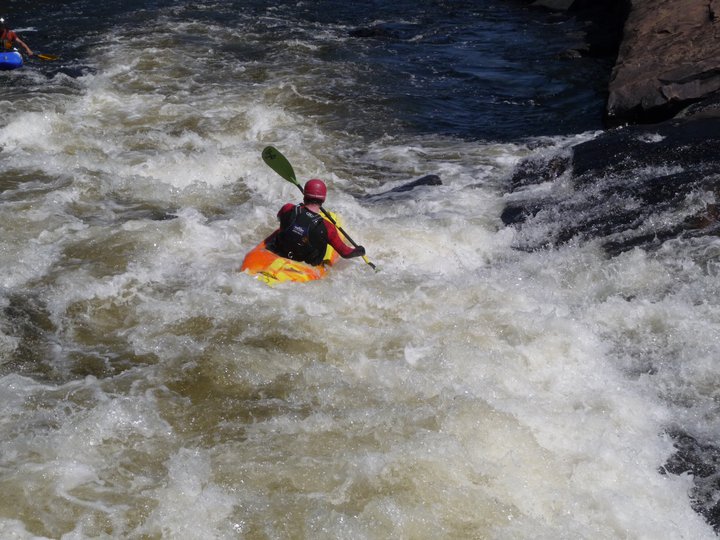
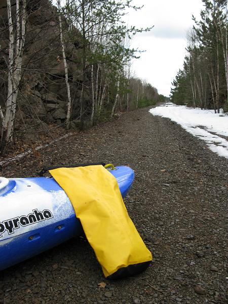
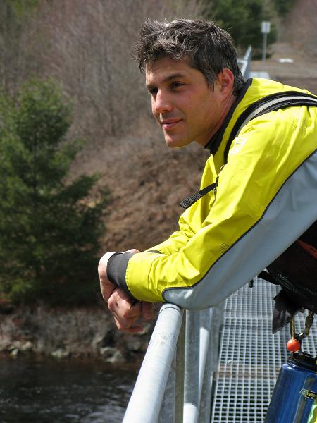
Here's a random collection of pictures from trips on the Upper Petawawa.
Updated May 3, 2011

